We draw vector maps. Tell me please, what types of maps are most in demand in printing. Thanks a lot.
Off the top of my head, the vector maps I’ve had to do lately are for business offices, new housing developments, and events. You will find clients in the tourism sector also.
For some reason, I’ve been seeing an uptick in maps originating from GIS systems, like ArcView, that need to be redrawn in a more aesthetically acceptable wayl
The maps I deal with in print in order of frequency: venue wayfinding maps - both interior and exterior (think parks, zoos, malls, etc,) emergency evac building maps, generic google-licensed screen caps, or in very rare instances, commissioned “art” maps depicting historical information like battle sites or old city layouts - those done in watercolor and hand lettered.
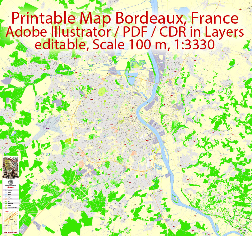
Thanks for your answer. Now we mainly draw city maps, which designers use as a basis for their work. For example, like this:
This is our job, sound criticism is welcome ![]()
Oh, thanks - like an idea:yum:. Such maps are done extremely rarely and only on request. Basically, maps of cities and countries were required.
For instance, done in Adobe Illustrator
Looks like very niche and specific artwork. I have never had need for maps of this sort in my work… thankfully. ![]()
1 Like
Many thanks. Yes, this is a specific and time-consuming work. In order for not to mess around, designers can easily use ready-made vector maps. ![]() When it is necessary…
When it is necessary…