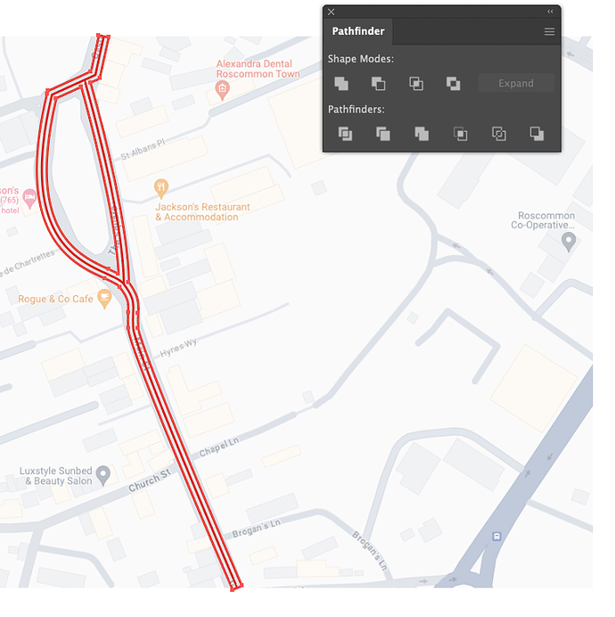
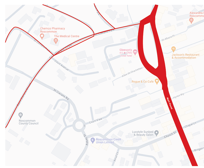
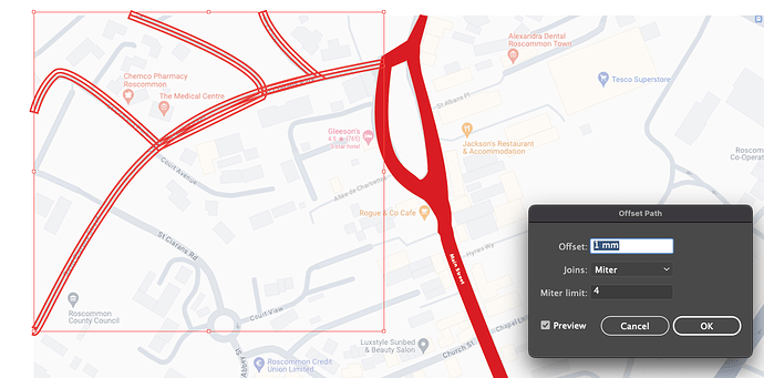
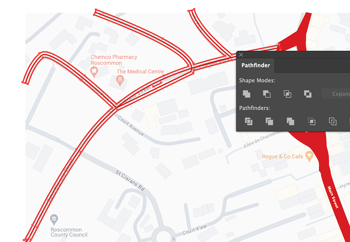
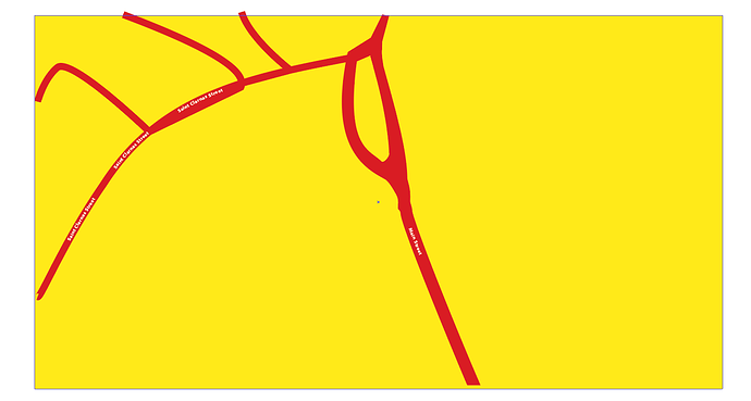
The first project I used Adobe Illustrator for was drawing a map. This was way back in 1987 when I worked at a newspaper. Over the next ten years, I probably drew several hundred locator maps in FreeHand and Illustrator. On occasion, I still draw maps for various projects.
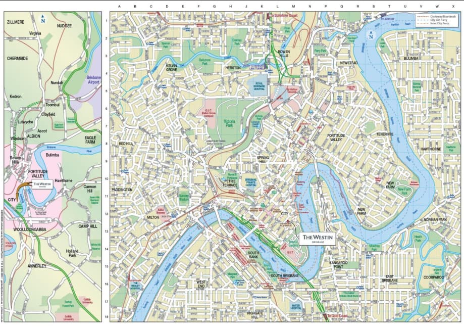
You’ve received advice for obtaining already-drawn maps, and if you really do need comprehensive maps that contain enormous amounts of detail, perhaps they will work for you. However, the map of Brisbane you posted is very complicated and confusing. It shows everything, but is showing every street in the city and their names necessary for your purpose?
Detailed and comprehensive maps of this sort aren’t typically built in Illustrator. Instead, they’re put together in GIS map-making software systems, such as Esri and ArcGIS (which I’ve also used). These maps can be exported to Illustrator, but modifying them in Illustrator is a confusing mess with broken paths, weird fills, weird layering, and endless clipping paths.
You mentioned it being a map for tourists, so is a map that shows all the back streets, cycling paths, residential details, and other things in a comprehensive map really needed, anyway? Only you know what’s needed on the map and what would amount to superfluous and confusing details. For example, if the map is primarily meant to show the location of a few hotels and tourist attractions, it might be better to draw a map from scratch that reduces the complexity. Instead of showing everything, it might be better to include only the main roads, the hotel locations, the tourist attractions, and a few key reference points, such as the river and the larger parks.
Drawing maps can be difficult or easy, depending on the level of detail needed. If I were you, I would take a hard look at what the optimum map for the purpose at hand would be. Then, I would concentrate on the best way to obtain it, which basically amounts to finding one for sale, drawing it yourself, or hiring a map-making specialist (who probably uses a GIS system).
